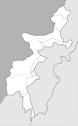
Mir Ali, Pakistan
Mir Ali
مير علې | |
|---|---|
Town | |
 | |
| Coordinates: 32°58′12″N 70°16′12″E / 32.97000°N 70.27000°E | |
| Country | |
| Province | Template:Khyber Pakhtunkhwa |
| Tribal Agency | North Waziristan |
| Tehsil | Mir Ali |
| Elevation | 674 m (2,211 ft) |
| Population | |
• Total | 7,882 |
| Time zone | UTC+5 (PST) |
Mir Ali (Template:Lang-ps) or Mirali is a town in North Waziristan, Khyber Pakhtunkhwa, Pakistan. Mir Ali is located in the Tochi Valley, about 12 kilometres (7.5 mi) east of Miranshah (capital of North Waziristan), 40 kilometres (25 mi) west of Bannu, Khyber Pakhtunkhwa, and 70 kilometres (43 mi) southeast of Khost city, Afghanistan. Mir Ali has an altitude of 674 metres (2,211 ft).[2].
The residents of Mir Ali are Dawar and Utmanzai Wazirs. Wazirs reside in mountainous areas of North Waziristan such as Spinwam, Shawa, and Khiasur, while Dawars reside in plane areas on both sides of the Tochi River. Some well known villages of Dawars in Mir Ali area are Hassu Khel, Haider Khel, Mussaki, Idaak, Khaddi, Hurmaz, Zeraki, Hakim Khel and Daulat Khel etc.
Abu Yahya al-Libi, the number two at the time of Al-Qaeda, was killed by a drone strike carried out by United States on June 4, 2012 in Mir Ali.[3]
The famous Pashtun freedom fighter and tribal leader Mirzali Khan (Faqir of Ipi) based his movement in Ipi, a village on the outskirts of Mir Ali, for more than 10 years. In 1938, Mirzali Khan shifted from Ipi to Gurwek, Waziristan.
Notable people
See also
References
- ^ "POPULATION AND HOUSEHOLD DETAIL FROM BLOCK TO DISTRICT LEVEL: FATA (NORTH WAZIRISTAN)" (PDF). www.pbscensus.gov.pk. 2018-01-03. Archived from the original (PDF) on 2018-07-28. Retrieved 2018-04-02.
- ^ Location of Mir Ali - Falling Rain Genomics
- ^ "White House: Al Qaeda No. 2 leader is dead". CNN. 6 June 2012. Retrieved 22 December 2014.


