Marcq-en-Baroeul Airfield
Appearance
This article includes a list of references, related reading, or external links, but its sources remain unclear because it lacks inline citations. (August 2022) |
Marcq-en-Baroeul Airport Aérodrome de Marcq-en-Barœul/Bondues | |
|---|---|
| Summary | |
| Location | Lille, France |
| Elevation AMSL | 164 ft / 50 m |
| Coordinates | 50°41′14″N 003°04′33″E / 50.68722°N 3.07583°E |
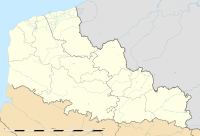
| Maps | |
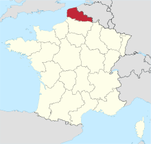
 Nord-Pas-de-Calais region in France | |
 | |
Marcq-en-Baroeul Airport is a civil airport, located in the localities of Marcq-en-Barœul and Bondues, 6.1 kilometres (3.8 mi) north-northeast of Lille, French Flanders, France
Overview
The airport is a small grass airfield used for general aviation
History
During World War II, the airport was used by the British Royal Air Force as Advanced Landing Ground B-57 Lille/Wambrechies.
References
- SintDenijs-Westrem Marcq-en-Barœul Airport
- Johnson, David C. (1988), U.S. Army Air Forces Continental Airfields (ETO), D-Day to V-E Day; Research Division, USAF Historical Research Center, Maxwell AFB, Alabama.

