Valjevo Airfield: Difference between revisions
Appearance
Content deleted Content added
mNo edit summary |
mNo edit summary |
||
| Line 24: | Line 24: | ||
| r1-length-f = 4,101 |
| r1-length-f = 4,101 |
||
| r1-length-m = 1,250 |
| r1-length-m = 1,250 |
||
| r1-surface = Grass |
| r1-surface = [[Airport runway|Grass]] |
||
| stat-year = |
| stat-year = |
||
| stat1-header = |
| stat1-header = |
||
Revision as of 14:05, 21 February 2018
Valjevo Airport Aerodrom Divci Аеродром Ваљево Aerodrom Valjevo | |||||||||||
|---|---|---|---|---|---|---|---|---|---|---|---|
| Summary | |||||||||||
| Airport type | Civil | ||||||||||
| Serves | Valjevo, | ||||||||||
| Location | Divci | ||||||||||
| Elevation AMSL | 469 ft / 143 m | ||||||||||
| Coordinates | 44°17′52.14″N 20°01′18.88″E / 44.2978167°N 20.0219111°E | ||||||||||
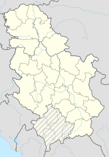
| Map | |||||||||||
 | |||||||||||
| Runways | |||||||||||
| |||||||||||
Valjevo Airport (Template:Lang-sr / Aerodrom Valjevo), also known as Divci Airport (Template:Lang-sr / Aerodrom Divci), is an airport in Divci near the City of Valjevo, Serbia and mountain resort Divčibare. The airport has one runway that is 1,250 metres long and 50 metres wide.
-
Divci - a sports airport
-
Divci - a sports airport
Future reconstruction
The idea of the construction of a cargo-transportation centre in Valjevo, 25 years ago, is again in the focus of interest. The backbone of all plans are Bar's railway, i.e. Valjevo-Loznica railway, future highway to the seaside and airport in Divci.


